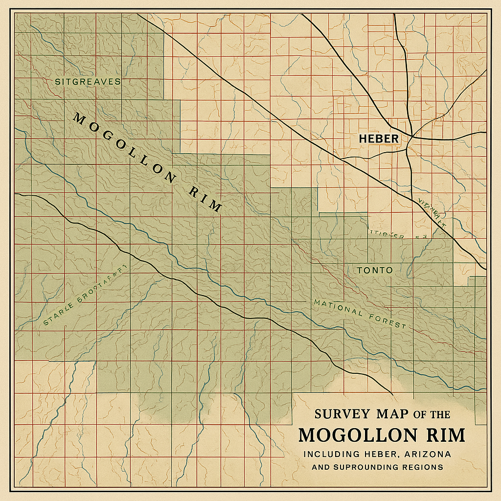
Mogollon Rim Survey Map (1950)
Out of Stock
$189.99
Comprehensive survey map of the Mogollon Rim area including Heber and surrounding regions, showing topographical features, property lines, and forest boundaries.
Features:
- Professional reproduction from National Archives
- Size: 36" x 48"
- Includes digital copy for personal use
- UV-resistant inks for display purposes
Additional Information
Our historic maps are professionally reproduced using state-of-the-art printing technology on premium acid-free archival paper. Each reproduction is carefully inspected to ensure the highest quality and historical accuracy.
Maps are shipped in protective tubes or flat, depending on size and customer preference. We offer custom framing services for an additional fee - please contact us for details.
All sales include a certificate of authenticity and information about the historical significance of the particular map or document.